WELL RESEARCH
Research the workflow.
Explore selected public Pennsylvania well records and available source reports, with a clear path to approved software access.
Public research preview · selected Pennsylvania records
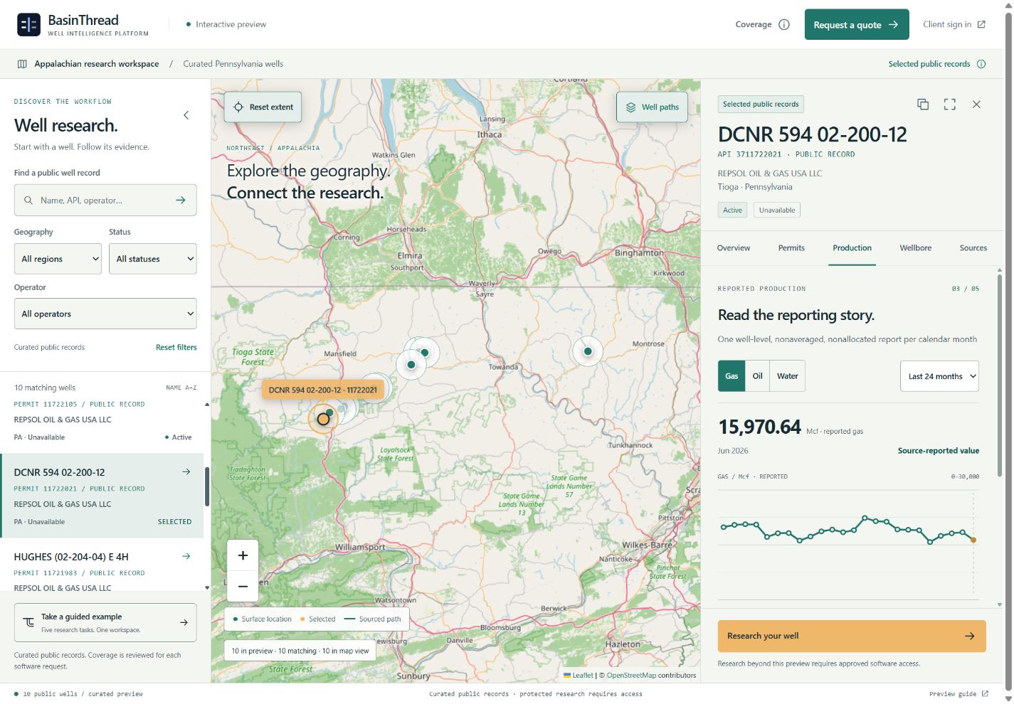
Explore without a form
Search selected public records by name or permit identifier, filter the list, pan and zoom the map, and select a well from either view. The map and research workspace stay in sync.
Follow a research question
Open Overview, Permits & documents, Production, Wellbore & location, and Sources. Inspect published record details and available source reports. Unavailable production metrics remain missing, and source-published 2D paths are distinguished from survey-derived 3D paths.
Request the access you need
Research beyond the selected public records, detailed dossiers, and available exports requires approved software access. A contextual action keeps the selected record and requested capability in view while you request a quote. Enter any additional wells or geography you need reviewed.
Searching for a well outside the selection does not verify that it exists in the platform. Outside this preview. Request a coverage review. Add your API or permit identifier, well name, or geography to the request so coverage can be reviewed.
Appalachian direction, explicit scope
The product direction includes Northeast and Appalachian research, including Marcellus and Utica. The selected Pennsylvania records do not establish statewide or national coverage. Read the coverage explanation and preview guide.
Client sign in uses the existing WIP authentication flow. Signing in or submitting an inquiry does not grant research access.